
- 1865: 22 miles completed from Mendota to Merriam Junction, Minnesota by the Minnesota Valley Railway Company
- 1866: 17 miles completed from Merriam Junction to Belle Plaine, Minnesota by the Minnesota Valley Railway Company
- 1867: 16 miles completed from Belle Plaine to Le Sueur, Minnesota by the Minnesota Valley Railway Company
- 1868: 12 miles completed from Le Sueur to Kasota, Minnesota by the Minnesota Valley Railway Company
- 1869: 5 miles completed from Mendota to St. Paul, Minnesota by the Minnesota Valley Railway Company
- 1869: 22 miles completed from Kasota to Lake Crystal, Minnesota by the Minnesota Valley Railway Company
- 1869: 22 miles completed from Lake Crystal to St. James, Minnesota by the St. Paul and Sioux City Railroad
- 1869: 22 miles completed from Lake Crystal to St. James, Minnesota by the St. Paul and Sioux City Railroad
- 1870: Minnesota Valley Railway purchased by the St. Paul and Sioux City Railroad
- 1871: 58 miles completed from St. James to Worthington, Minnesota by the St. Paul and Sioux City Railroad
- 1872: 64 miles completed from Worthington to Le Mars, Iowa by the St. Paul and Sioux City Railroad
- 1881: StP&SC sold to the Chicago, St. Paul, Minneapolis & Omaha Railway
- 1882: CStPM&O leased by the Chicago & North Western Railway
- 1882: CStPM&O acquired by the Chicago & North Western Railway
- 1995: C&NW purchased by Union Pacific Railroad
- 1995-Present: Union Pacific operates the St. Paul to St. James segment as the Mankato Subdivision
- 1995-Present: Union Pacific operates the St. James to Sioux City segment as the Worthington Subdivision
06/26/21
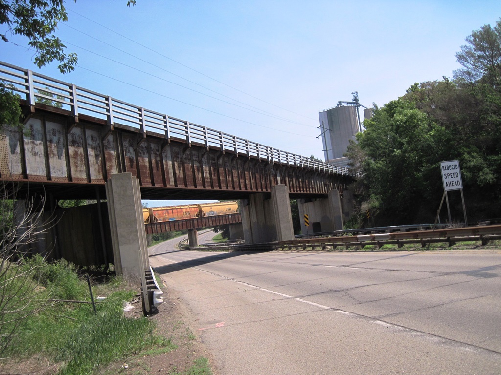
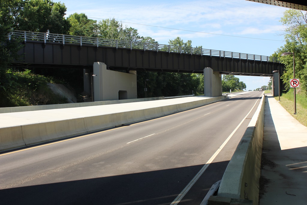
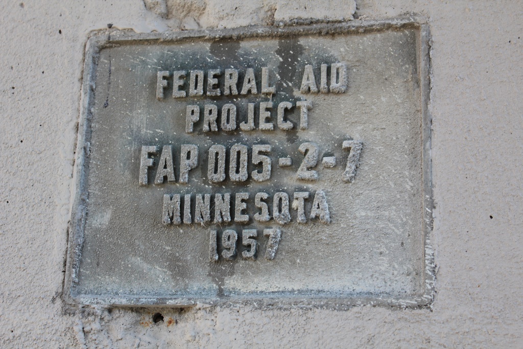
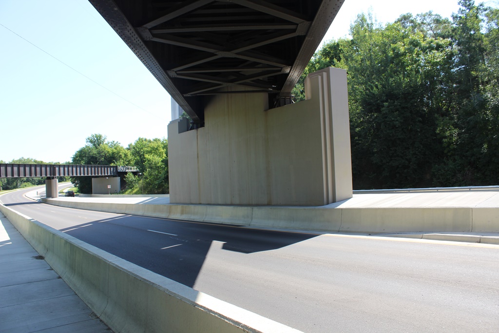
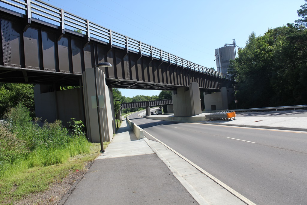
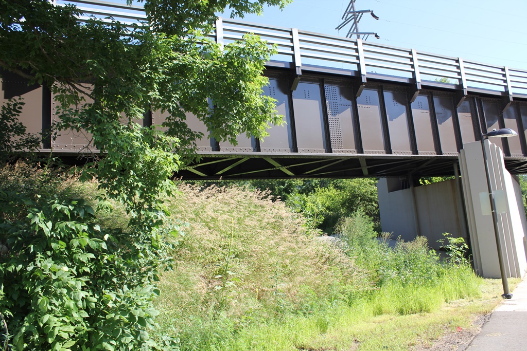
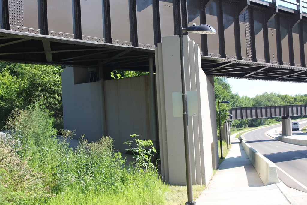
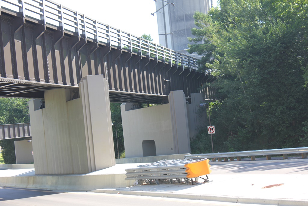
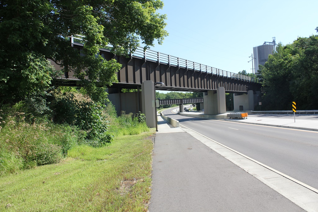
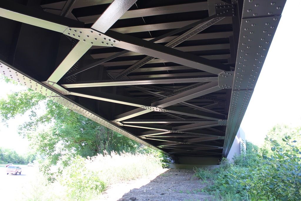
This is the northern crossing of County 69 (Formerly US-169) in Shakopee.
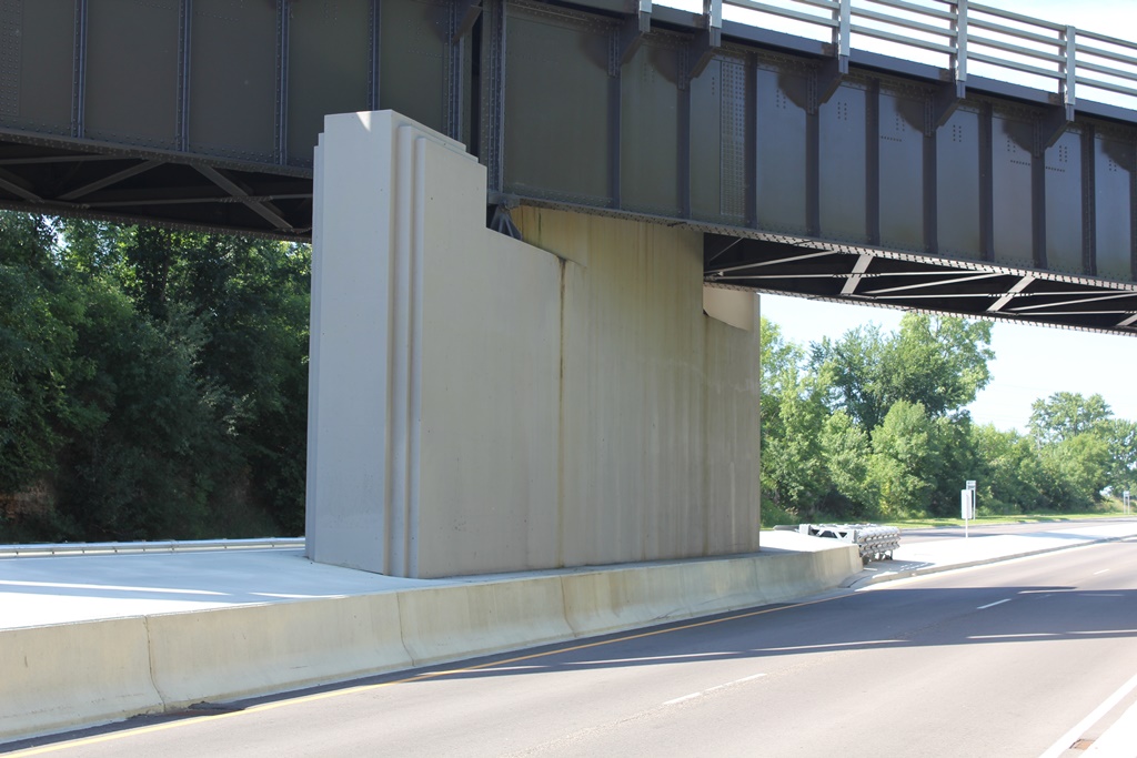
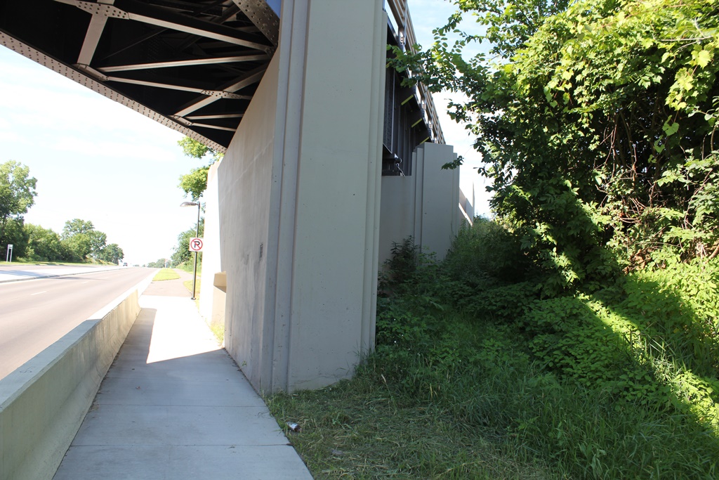
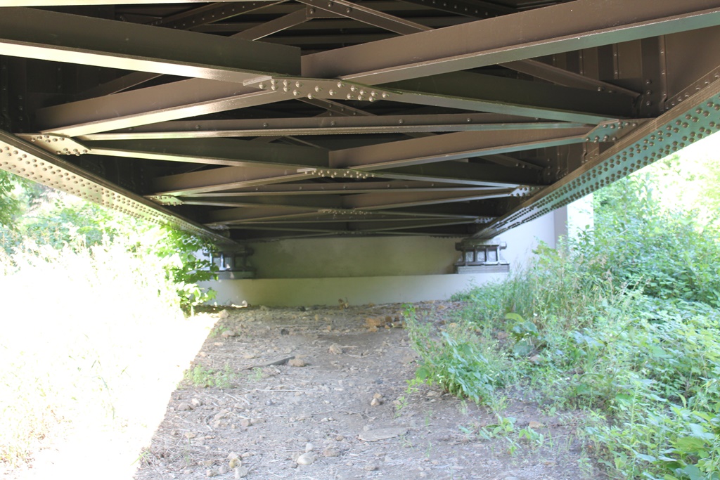
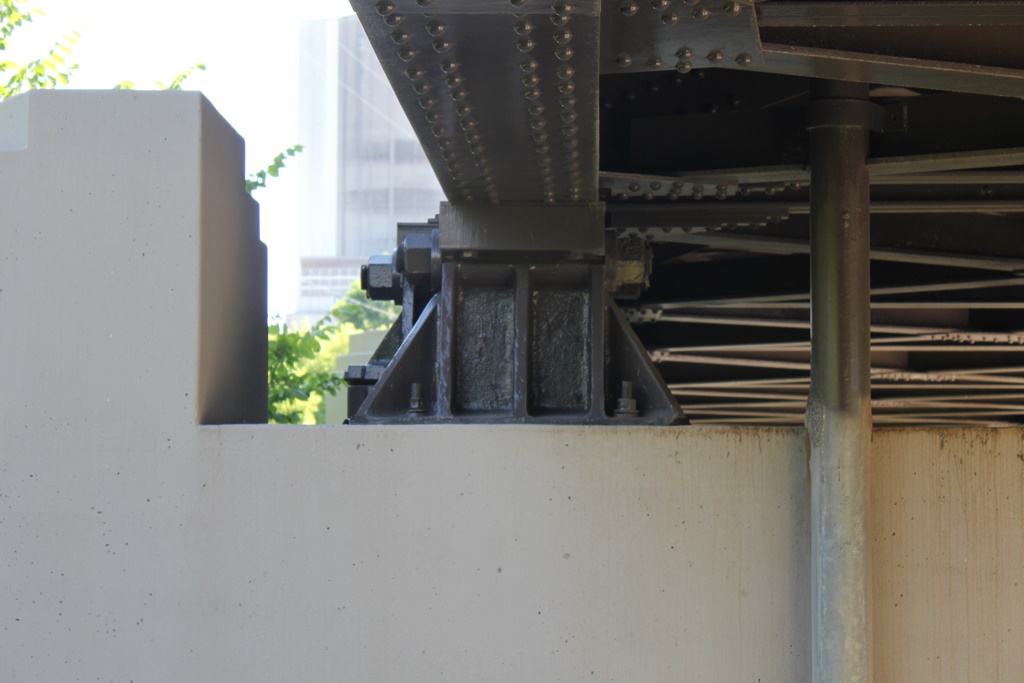
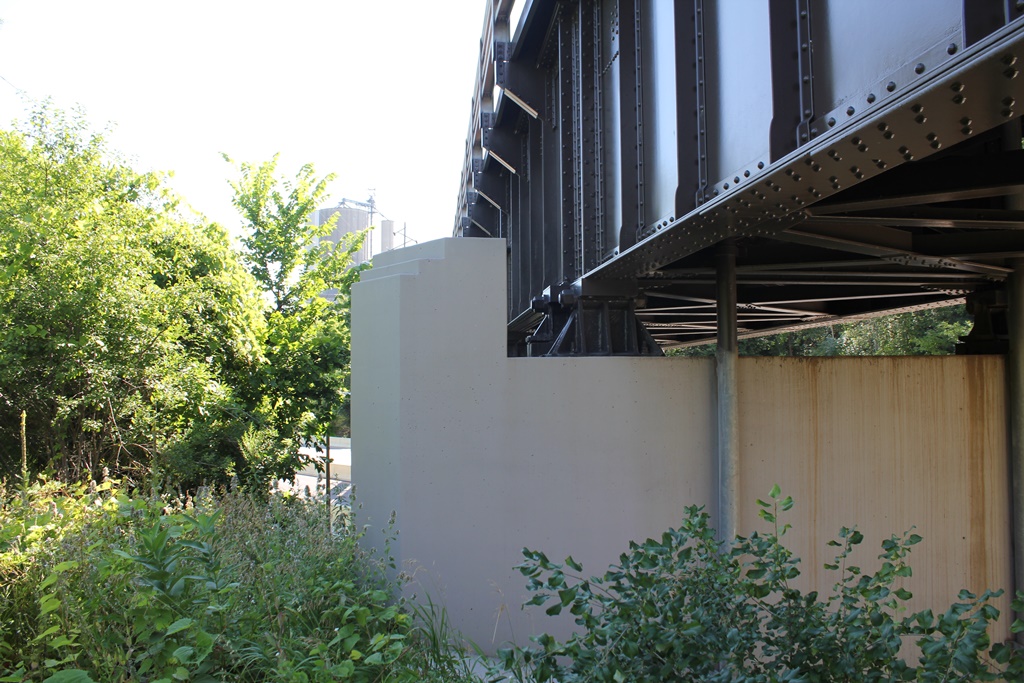
Built in 1957, the bridge features a quartet of deck girder spans. It was built to replace a girder and trestle bridge.
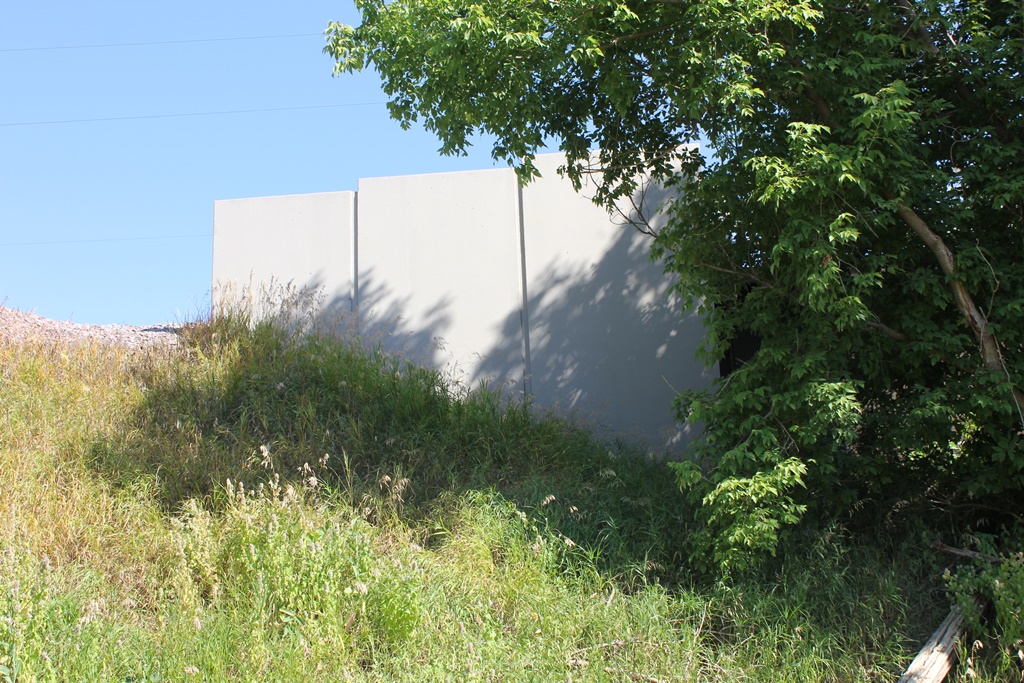
The entire bridge rests on concrete substructures. The bridge was restored in 2012 during a reconstruction project.
Overall, the bridge appears to be in great condition.
The author has ranked this bridge as being locally significant, due to the common design and newer age.
The photo above is looking at the south face. The bridge can be accessed from the road it crosses.